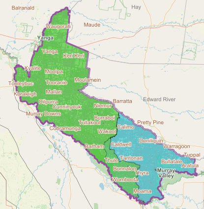
Wards and Electoral Boundaries
Our Local Government Area (LGA) is divided into three areas called ‘Wards’ and each ward has three Councillors to represent the people within these areas.
- Greater Murray Ward (shown in blue on map below)
- Greater Wakool Ward (shown in green on map below)
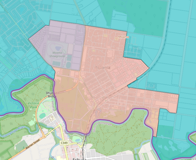
- Moama Ward (shown in orange on map below)
If you check your enrollment status with the Australian Electoral Commission, it will detail which ward you belong to.